Categories: Easy Do-at-Home Activity , Social Studies , Spanish , Science
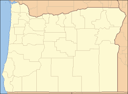
This hands-on lesson teaches students about the physical and social geography of Oregon’s 36 counties. Students learn to interpret a variety of maps, glean information to answer worksheet questions and finally create a map that communicates physical and social facts about an Oregon county. As an extension to the lessons, students work cooperatively to create the questions and answers for an Oregon Geography Pursuit game.
Google Slide version of student worksheets available for elearning purposes.
Baker, Benton, Clackamas, Clatsop, Columbia, Coos, Crook, Curry, Deschutes, Douglas, Gilliam, Grant, Harney, Hood River, Jackson, Jefferson, Josephine, Klamath, Lake, Lane, Lincoln, Linn, Malheur, Marion, Morrow, Multnomah, Polk, Sherman, Tillamook, Umatilla, Union, Wallowa, Wasco, Washington, Wheeler, Yamhill, Oregon County Outlines
For full instructions, please download our PDF